Maps of Huejuquilla El Alto
 1858|Garcia Cubas, Antonio, 1832-19121:1 950 000
 1860
1860
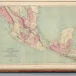 1873|Williams, J.David1:5 747 700
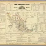 1858|Garcia Cubas, Antonio, 1832-19121:8 500 000
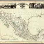 1858|Garcia Cubas, Antonio, 1832-19121:5 000 000
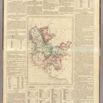
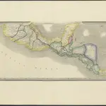 1850|London : Jas. Wyld1:4 500 000
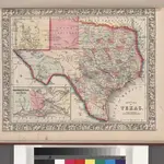
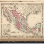 1864|Johnson, A.J.1:8 218 000
Old maps of Huejuquilla El Alto
Discover the past of Huejuquilla El Alto on historical maps
Old maps of Huejuquilla El Alto
Discover the past of Huejuquilla El Alto on historical maps
Looking for a Google Maps API Alternative?