

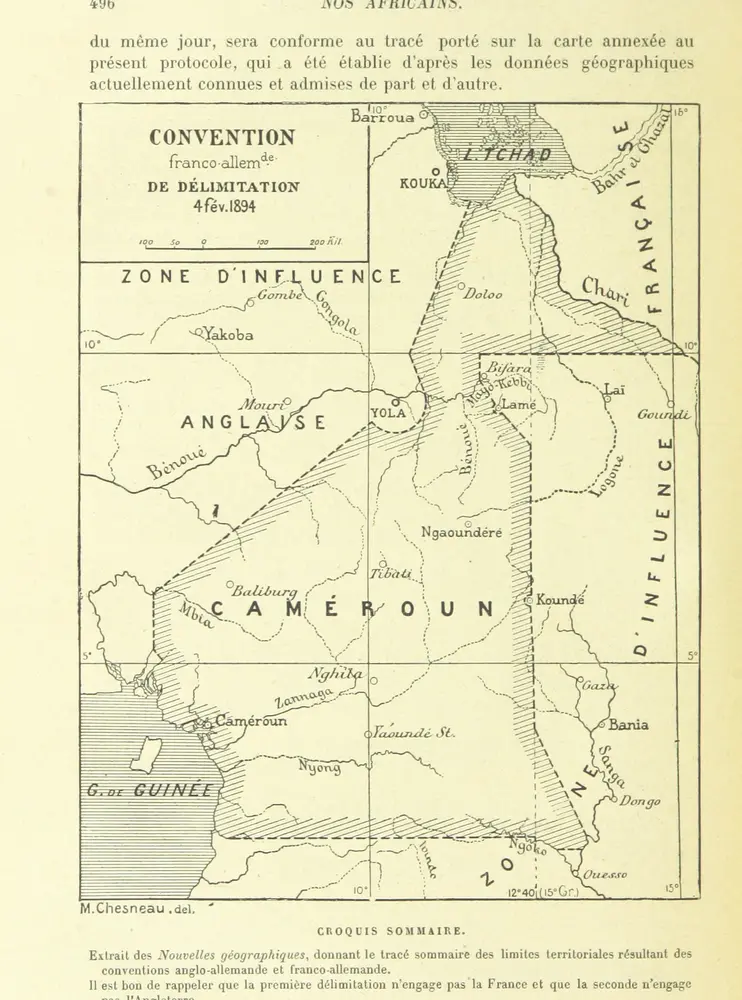
Nos Africains.-La mission Crampel.-La mission Dybowski.-La mission Mizon.-La mission Monteil ... La seconde mission Mizon ... Ouvrage illustré
1894
ALIS, Harry pseud. [i.e. Jules Hippolyte Percher.]
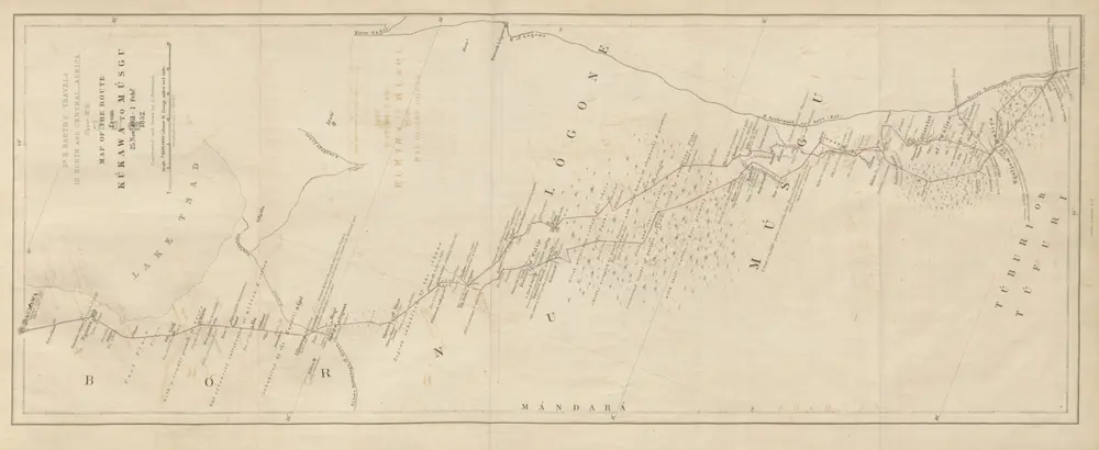
Travels and Discoveries in North and Central Africa: being a journal of an expedition undertaken under the auspices of H.B.M.'s Government, in the years 1849-55
1857
BARTH, Heinrich Traveller
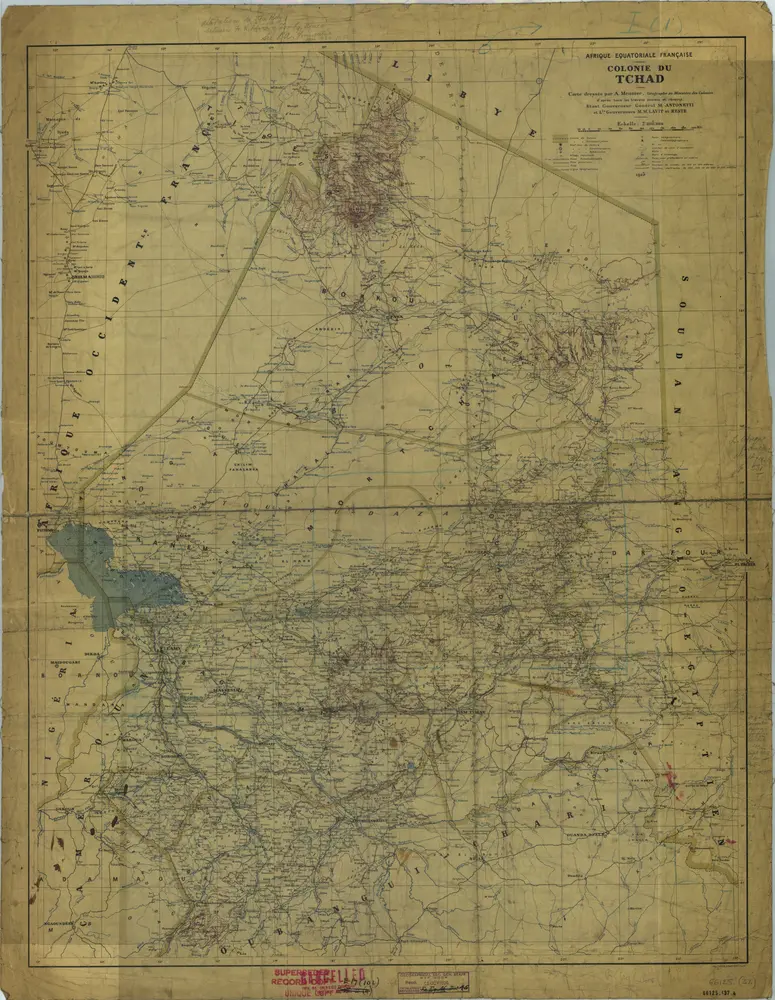
Tchad [Colonie du] (1925)
1925
Paris : Union Graphique.
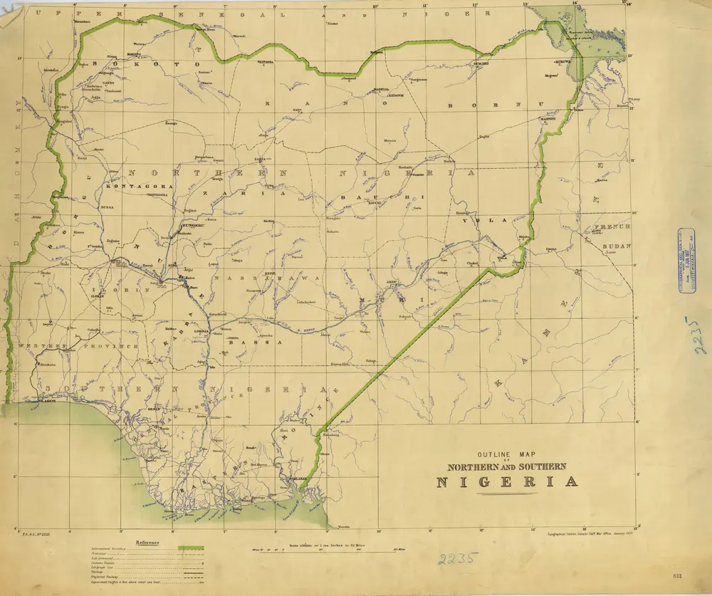
Nigeria (1907)
1907
Great Britain. General Staff. Topographical Section.
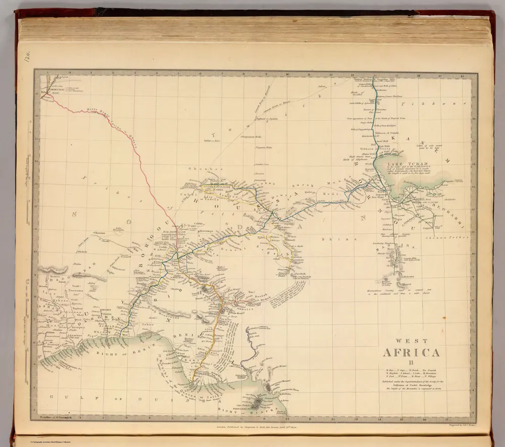
West Africa II.
1839
Society for the Diffusion of Useful Knowledge (Great Britain)
1:6m
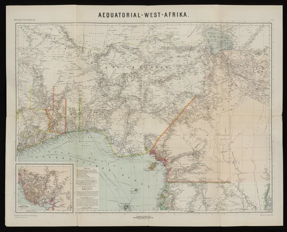
Aequatorial-West-Afrika
1893
Kiepert, Richard ; Sprigade, Paul
1:3m
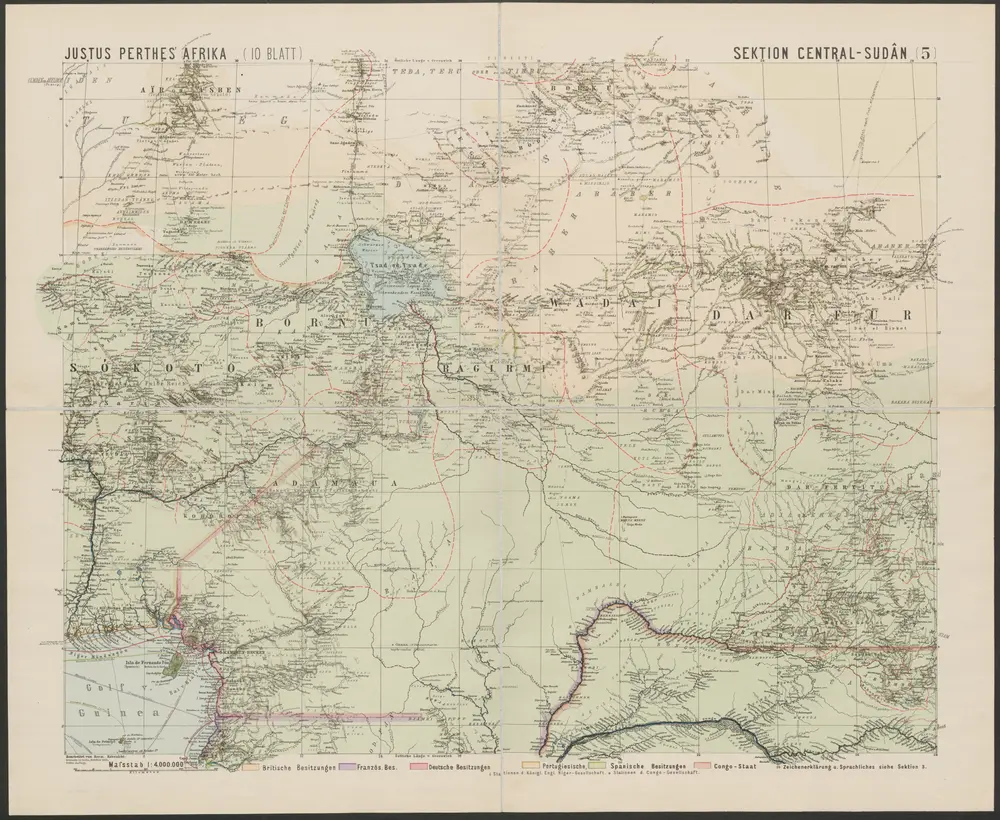
Spezial-Karte von Afrika
1893
Habenicht, Hermann
1:4m
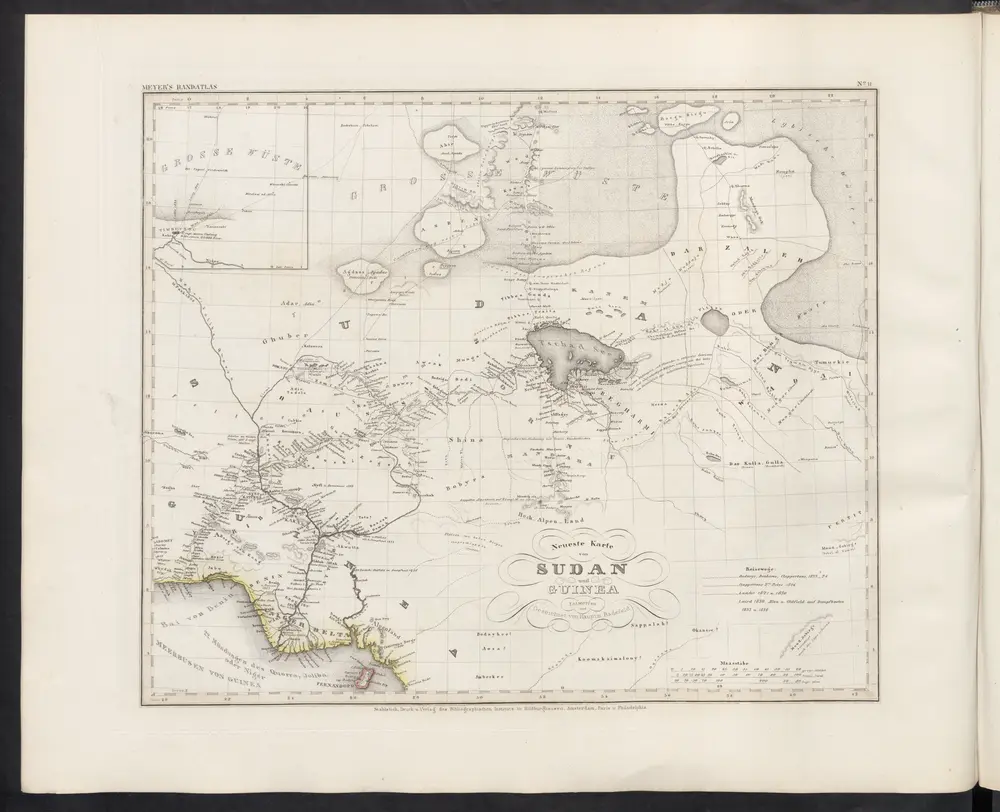
Neueste Karte von Sudan und Guinea
1860
Meyer, J.
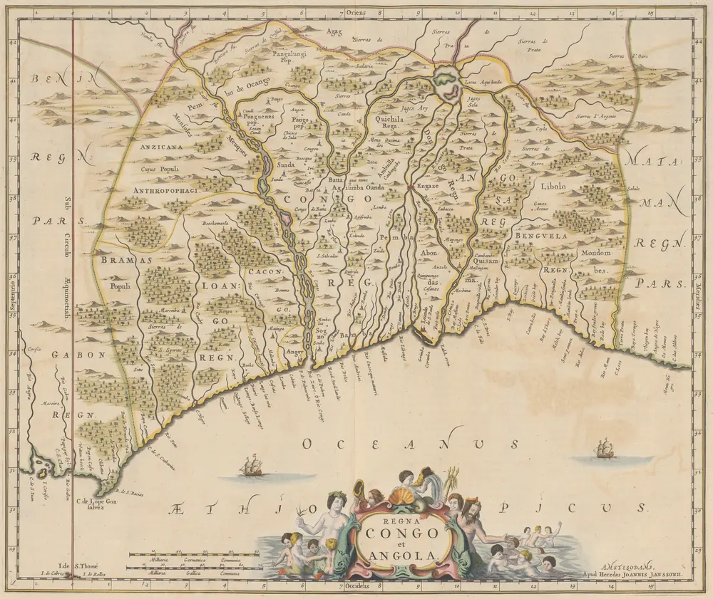
Regna Congo et Angola. [Karte], in: Novus atlas absolutissimus, Bd. 6, S. 180.
1647
Janssonius Offizin
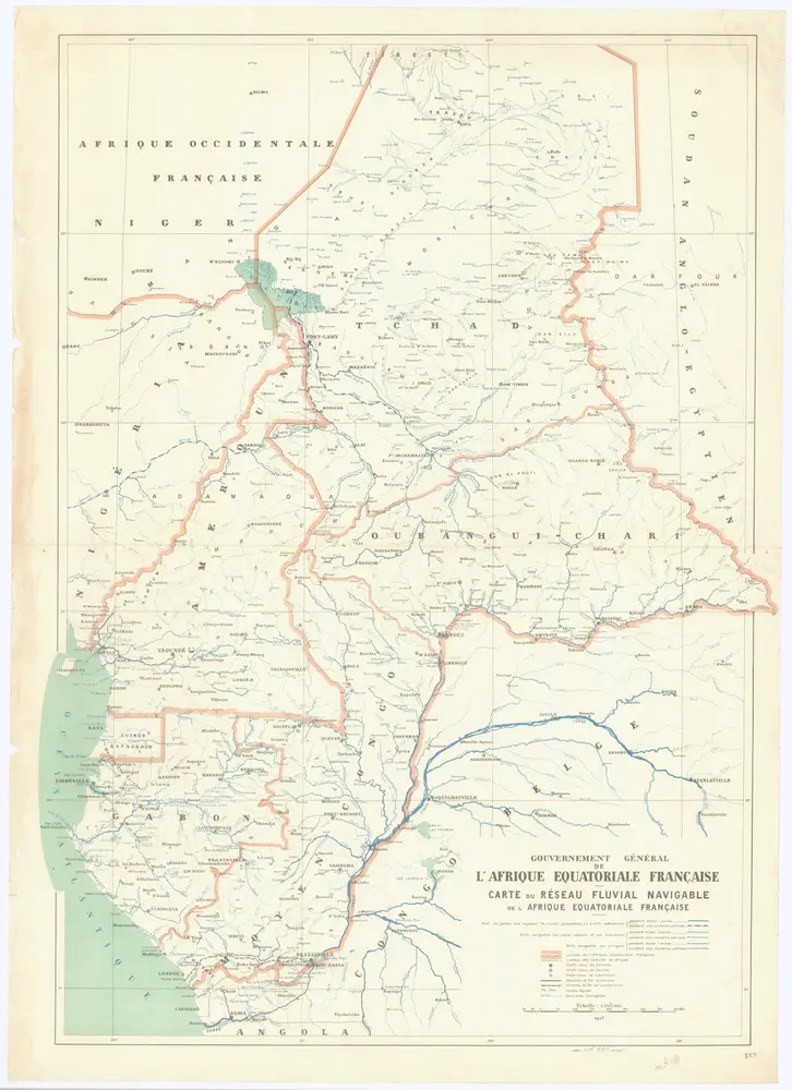
Carte du réseau fluviale navigable de l'Afrique equatoriale française
1925
1:3m


Old maps of Mayo-Kebbi Ouest Region
Discover the past of Mayo-Kebbi Ouest Region on historical maps
Old maps of Mayo-Kebbi Ouest Region
Discover the past of Mayo-Kebbi Ouest Region on historical maps
Looking for a Google Maps API Alternative?