Maps of Winiary, Wieliczka County
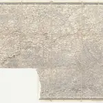
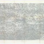 1850|K. u. k. Militärgeographisches Institut1:75 000
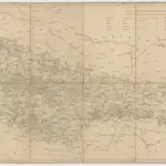
 1875|herausgegeben vom k. k. militär-geographischen Institute im Jahre 1868
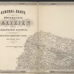
 1820|Liechtenstern, Joseph Marx von1:114 700
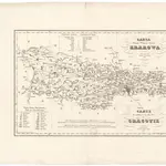 1833|Żebrawski, Theofil1:183 000
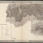 1875|herausgegeben vom k. k. militär-geographischen Institute im Jahre 1868
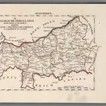 1828|Hermann, O.1:200 000
 18501:500 000
Old maps of Winiary, Wieliczka County
Discover the past of Winiary, Wieliczka County on historical maps
Old maps of Winiary, Wieliczka County
Discover the past of Winiary, Wieliczka County on historical maps
Looking for a Google Maps API Alternative?