

地図 エチオピア高原
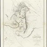 Carte générale d'Abyssinie1847|dressée par M. le lieutenant de vaisseau Théophile Lefebvre pendant son voyage d'exploration en 1839, 40, 41, 42, 431:1 800 000u
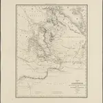 Carte de l'Abyssinie, du pays des Galla, de Choa et d'Ifat1838|dressée par Mrs. Combes et Tamisier1:2 500 000u
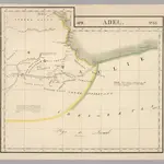 Adel. Afrique 33.1827|Vandermaelen, Philippe, 1795-18691:1 641 836d
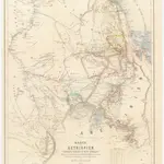 Karte von Aethiopien (H'abeš, Takah & Ost-Senar)1868|Heuglin, Theodor von1:2 500 000c
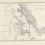 Two Years in East Africa: Adventures in Abyssinia and Nubia, with a journey to the sources of the Nile ... [Translated from the French.]1875|JONVEAUX, Émile.b
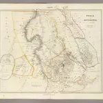 Nubia and Abyssinia.1844|Arrowsmith, John1:4 118 400d
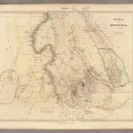 Nubia, Abyssinia.1832|Arrowsmith, John1:3 860 000d
1600
1650
1700
1750
1800
1850
1900
1950
2000

